What is Counter-Mapping?
Counter-mapping = critical cartography = subversive cartography = bioregional mapping = remapping = ethnocartography = alternative cartography = mapping-back = counter-hegemonic mapping = public participatory mapping
‘Counter-mapping’ is the map-making process whereby communities appropriate the state’s techniques of formal mapping and make their own maps as alternatives to those used by government (Nancy Peluso, 1995). Counter-maps become tools in the broader strategy for advocacy as they articulate community claims for rights over land. In addition to representing geographic information, counter-maps negotiate between central social, cultural and historical notions. Source: newmedialab.cuny.edu
There are numerous expressions closely related to counter-mapping: ethnocartography, alternative cartography, mapping-back, counter-hegemonic mapping, and public participatory mapping. Moreover, the terms: critical cartography, subversive cartography, bioregional mapping, and remapping are sometimes used synonymously with counter-mapping, but in practice encompass much more. Historically, cartography has been a fundamental governmentality strategy, a technology of power, used for surveillance and control. Source: en.wikipedia.org
Reading Response
1) Jeremy W. Crampton and John Krygier, “An Introduction to Critical Cartography,” ACME: An International E-Journal for Critical Geographies 4:1 (2006): 11-33.
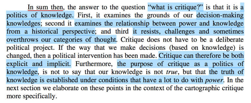
Jeremy W. Crampton and John Krygier defines critical cartography as a one-two punch of new mapping practices and theoretical critique. Critical cartography challenges academic cartography by linking geographic knowledge with power and thus, is political.
This journal explains what is critical cartography as counter-mapping by narrating the historical concept of critique as politics of knowledge. As mapping technology evolved by the evolution of digital technology, anyone can make a map that has an argument. In the past, only people with power were able to make, manipulate and distribute maps. Also, only governors and politician had a concrete geographical concept of the region that they control. Counter-mapping challenges the existing governors’ maps.
I didn’t know the meaning of “counter-mapping” itself, but through the readings, I became aware of the concept of counter-mapping as critical cartography, and it was interesting there were lots of political power structures behind map making process. Digital revolution and open source enable people to access to sources and make maps freely regarding image-making itself has power to influence other people.
2) Dee Morris & Stephen Voyce, “William Bunge, the DGEI, & Radical Cartography,”Jacket 2 (March 20, 2015).
3) Annette Kim, “Mapping the Unmapped” In Sidewalk City: Remapping Public Space in Ho Chi Minh City (Chicago: University of Chicago Press, 2015): 84-149. See also http://slab.today/
4) Nancy Lee Peluso, “Whose Woods Are These? Counter-Mapping Forest Territories in Kalimantan, Indonesia,” Antipode 27:4 (1995): 383-406 [a hinge to next week’s discussion]
Forests are repositories of great wealth and ecological importance; politically, they are much more than that. Mapping of forest resources is, therefore, an intrinsically political act: whether drawn for their protection or production, they are drawings of a nation’s strategic space.
